CASE STUDY · 01
Designing digital experiences for a world seen from space.
Product design for Earth Observation, satellite imagery and geospatial data.
Learn moreRole
Product Designer
Industry
Space · Earth Observation · Geospatial
Scope
Product Design · UX · UI · Data Visualization
01 CONTEXT
Designing products for a world seen from space.
02 THE CHALLENGE
More data doesn't always mean more understanding.
03 DISCOVERY
Understanding how people explore geospatial information.
EXPLORE
Understanding the geographic context.
COMPARE
Identifying relevant imagery.
INSPECT
Going deeper into the selected area.
UNDERSTAND
Turning complex information into something actionable.
04 PRODUCT DESIGN
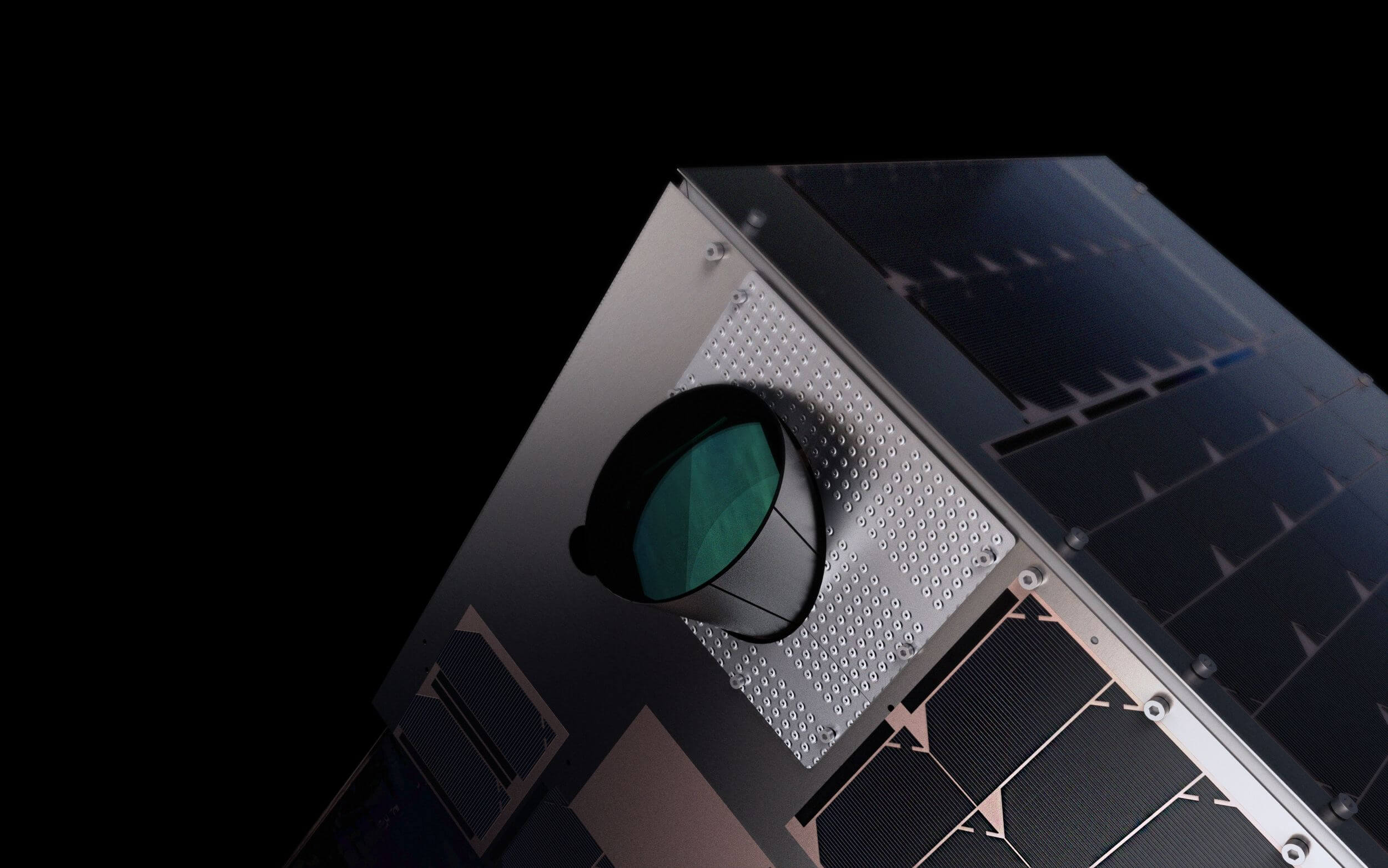
From satellite imagery to a spatial interface.
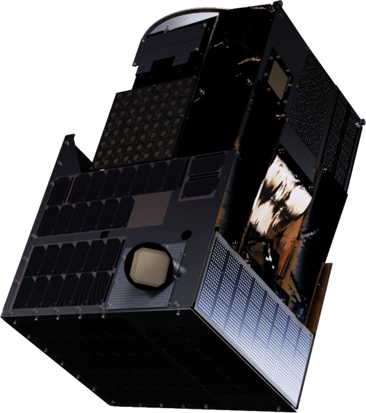
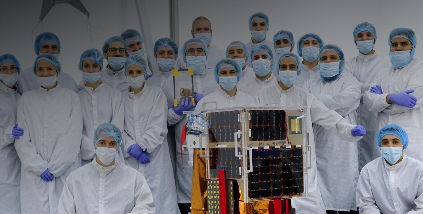
06 SATELLITE
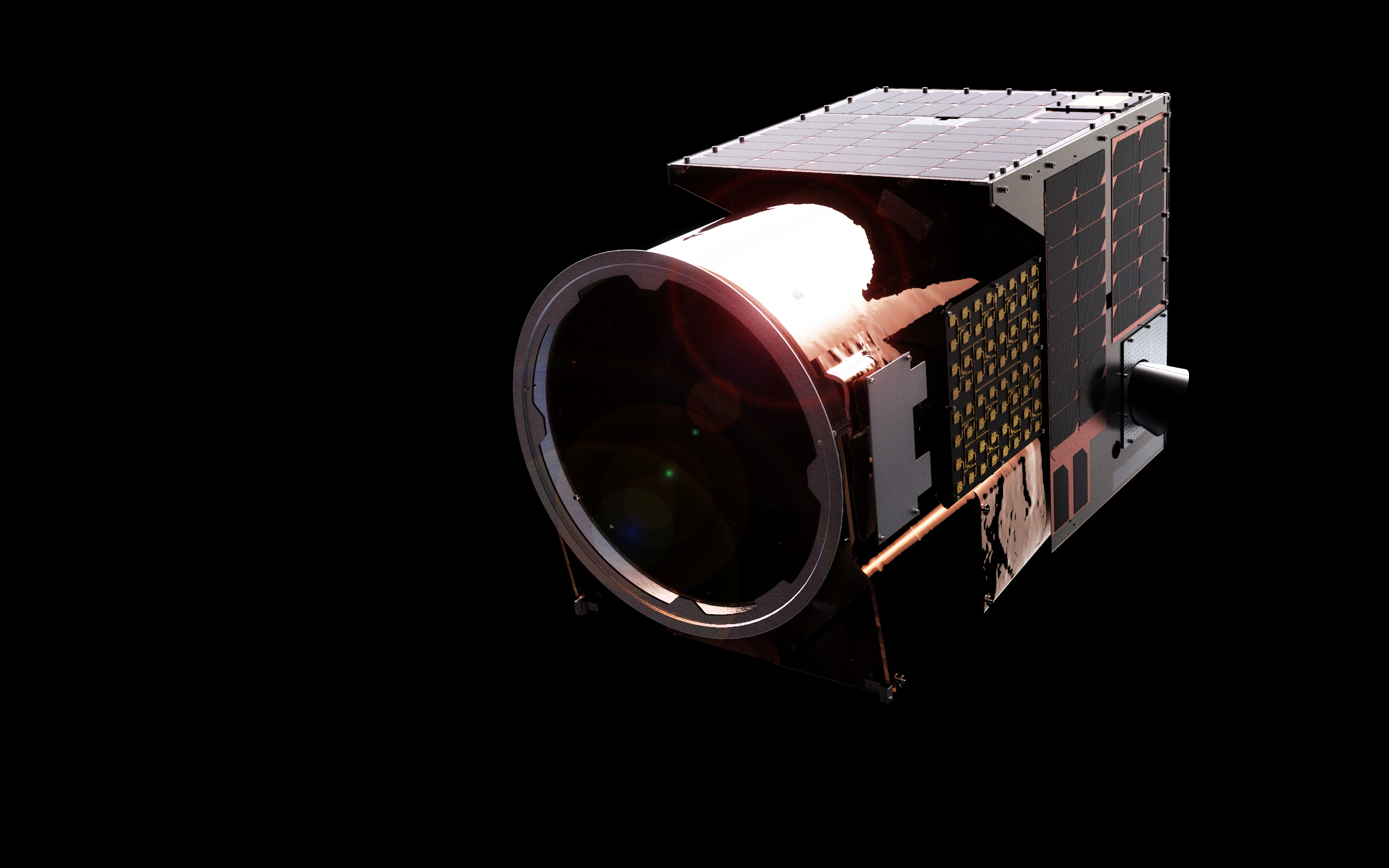
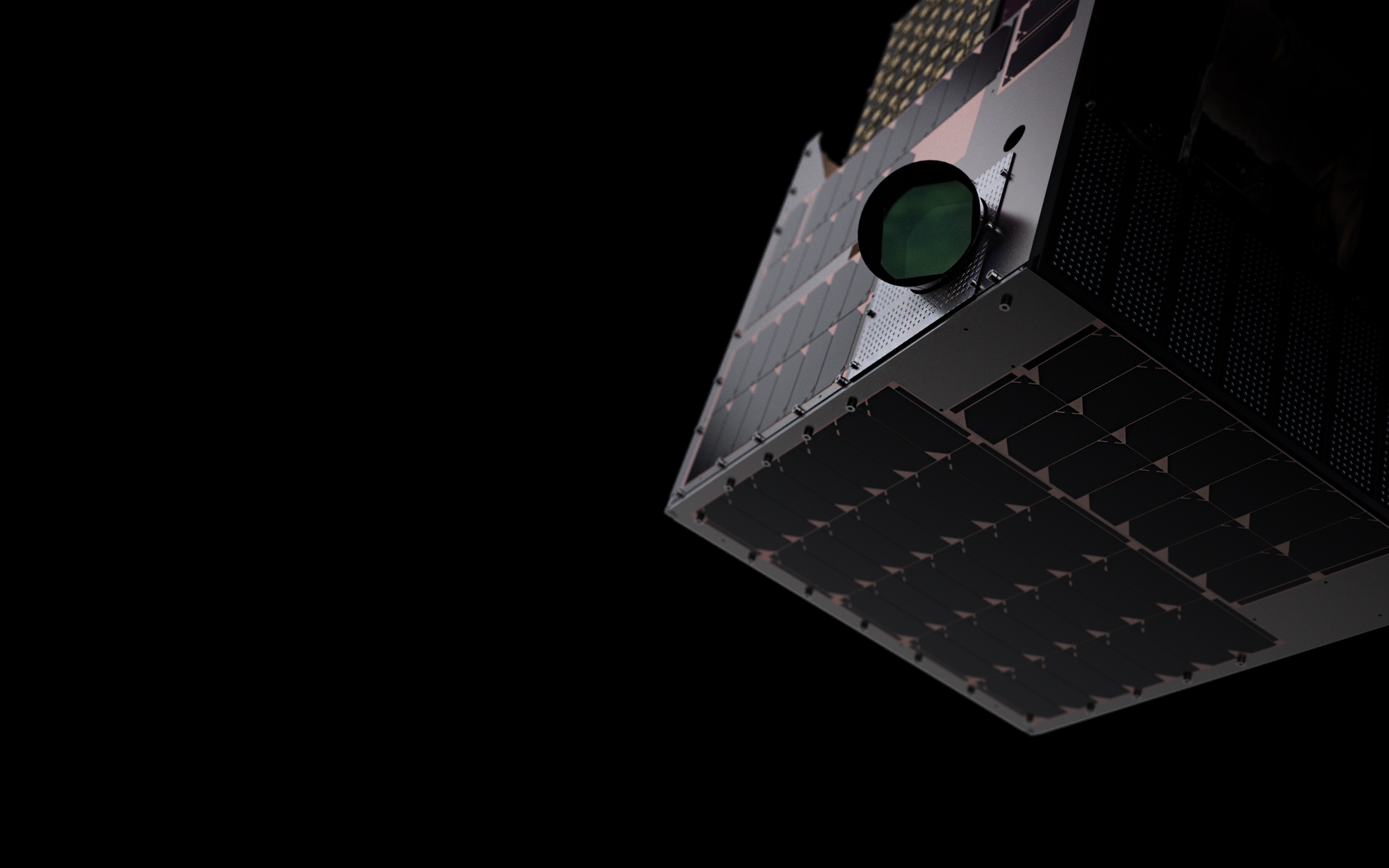
Designing for a product that starts in space.
The product experience begins long before a user opens the interface. It starts with a satellite orbiting Earth, collecting information that eventually becomes something people can explore and understand.
07 EXPERIENCE
Making complex information easier to explore.
A simplified flow to move from raw imagery to a clear decision, without losing depth where it matters.
DISCOVER
Finding the right place and moment to observe.
EXPLORE
Moving across the area to understand what's there.
INSPECT
Zooming into the imagery for detail.
UNDERSTAND
Turning what you see into a decision.
08 MY ROLE
Lead Product Designer
I led product design across Satellogic's digital ecosystem, working closely with product, engineering, and business teams to turn complex satellite data and technology into clear, intuitive user experiences.
My role included defining product experiences from early concepts to high-fidelity designs, shaping user flows and information architecture, and contributing to the evolution of the design system.
Key responsibilities
- 01Led end-to-end product design across key experiences.
- 02Translated complex technical requirements into simple, user-centered interfaces.
- 03Collaborated closely with Product, Engineering, and stakeholders.
- 04Defined user flows, interaction patterns, and information architecture.
- 05Contributed to the evolution and consistency of the design system.
- 06Worked from early discovery and concepts through to final delivery.
09 ARTIFACTS
From exploration to interface.
10 OUTCOME
A clearer way to navigate a complex domain.
CLARITY
A clearer experience for working with complex information.
VISUAL SYSTEM
A coherent visual language for maps, imagery, data and product.
SCALABILITY
A visual and interaction foundation ready to evolve.
SATELLOGIC
Earth, from another perspective.
XAVI NADAL
Product Designer